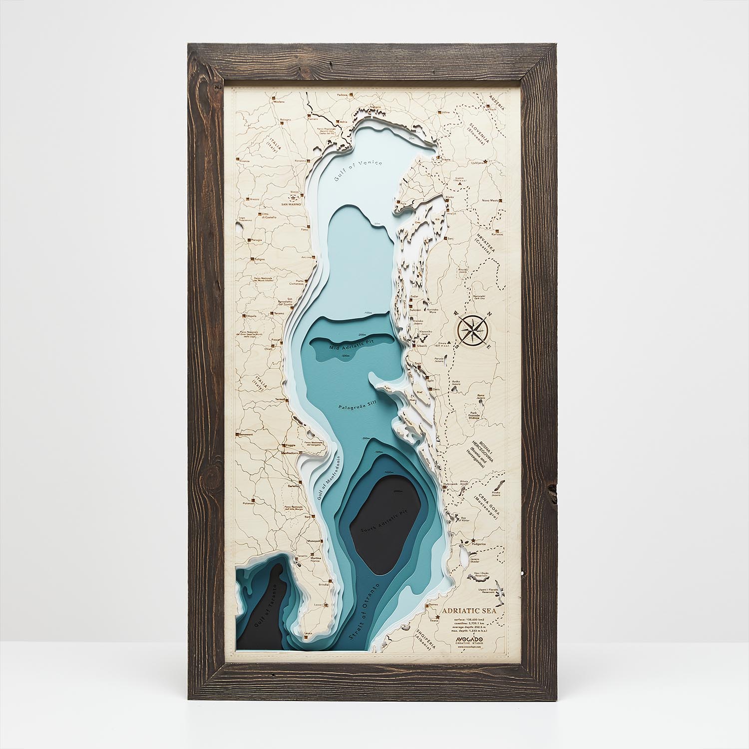
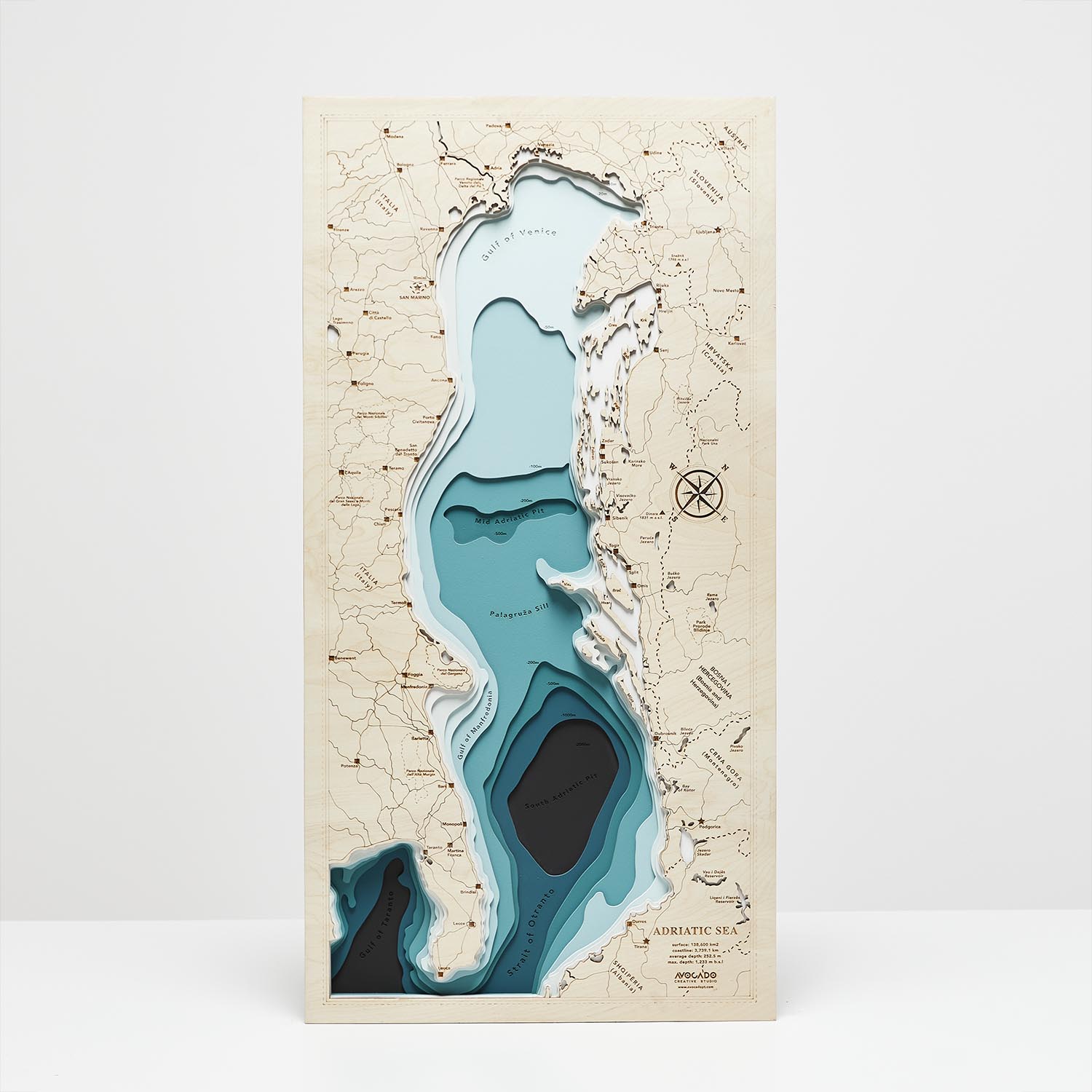
The Adriatic Sea – the northern branch of the Mediterranean Sea. It separates the Apennine Peninsula from the Balkan Peninsula.
The name of the sea comes from the ancient seaport of Hadria, founded by the Etruscans on its northern coast.
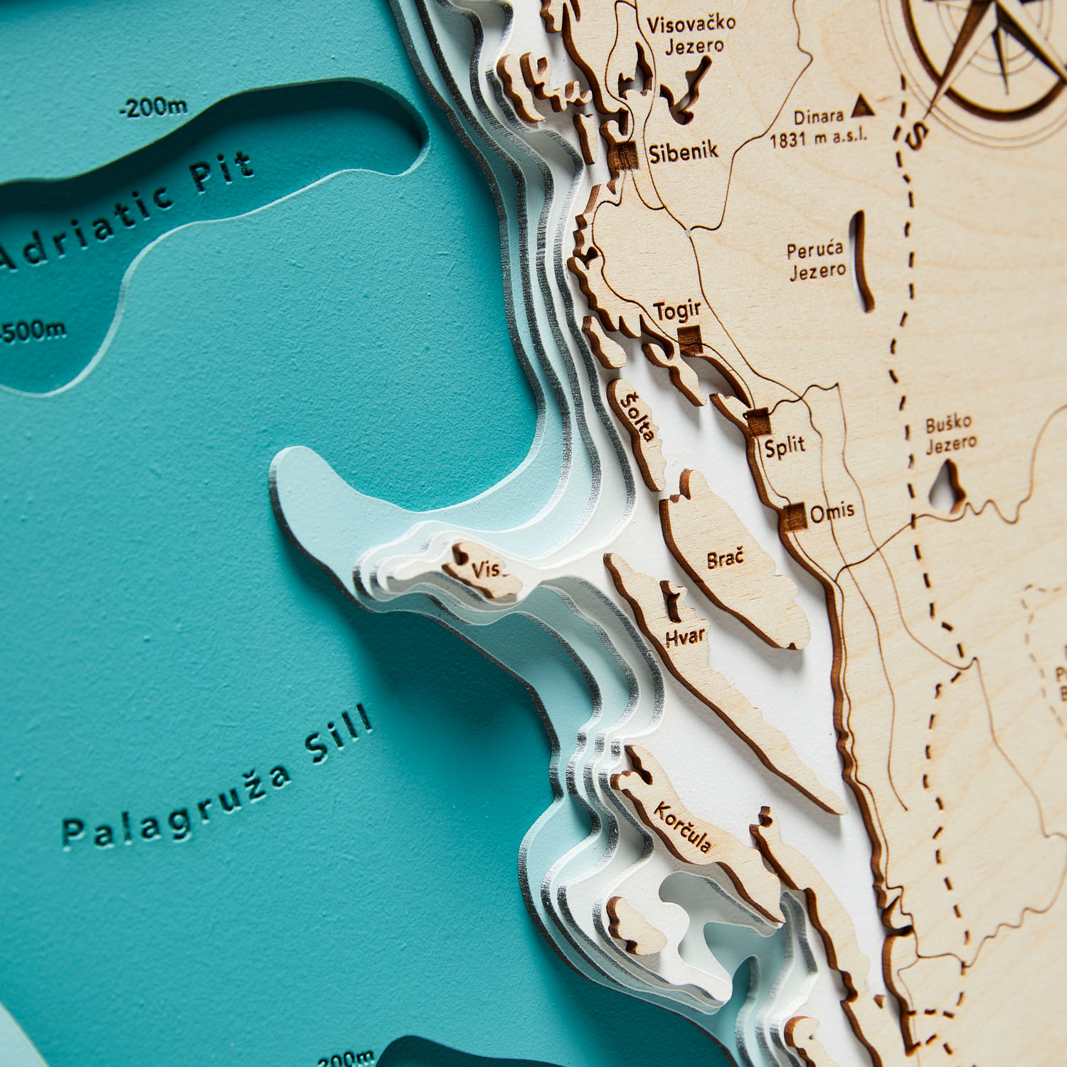
Did you know that the total number of islands, islets, reefs, and rocks in Croatia is a staggering 1,246? This makes the Croatian archipelago the most numerous in the Adriatic Sea?
Our map will help you see all this and more.
It will transport you to sunny beaches and let you feel the gentle sea breeze even on a cloudy day.
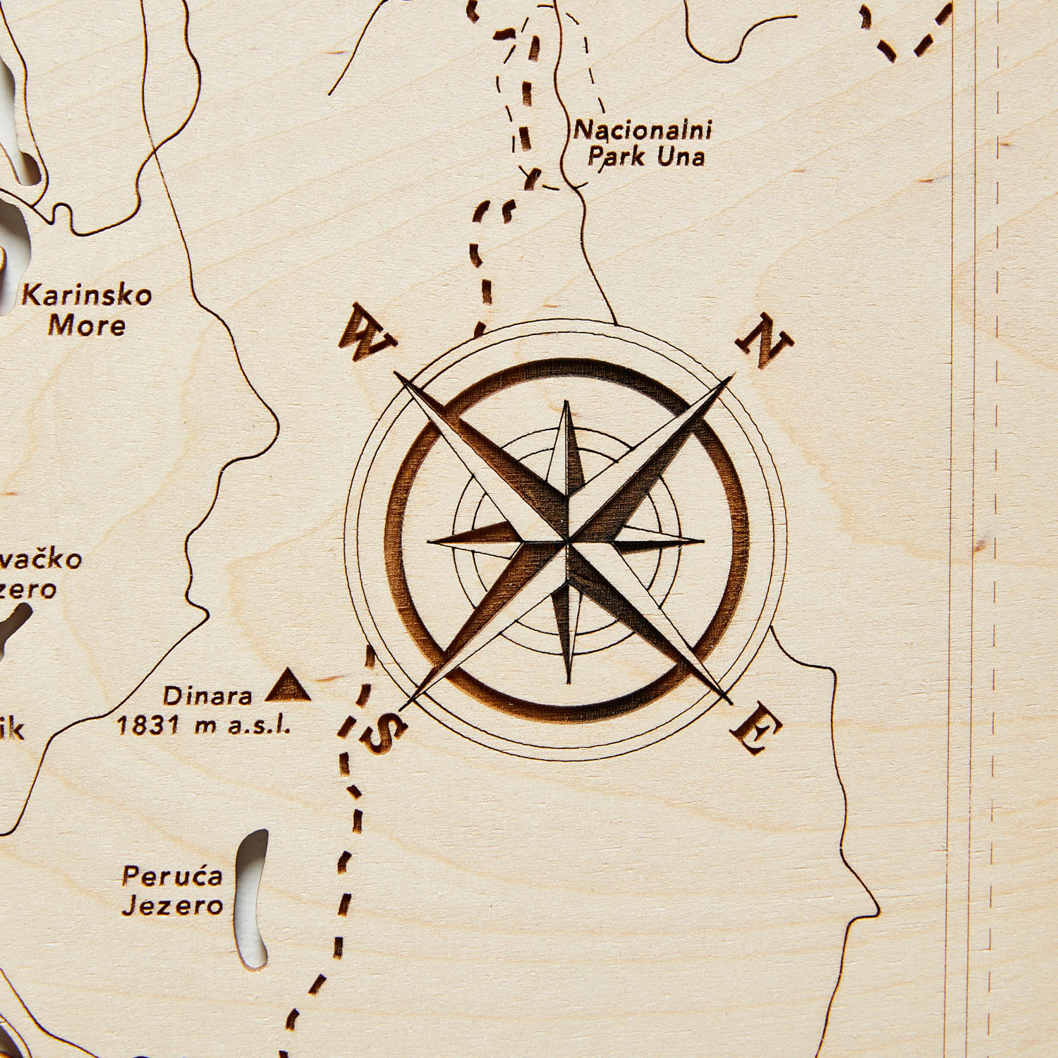
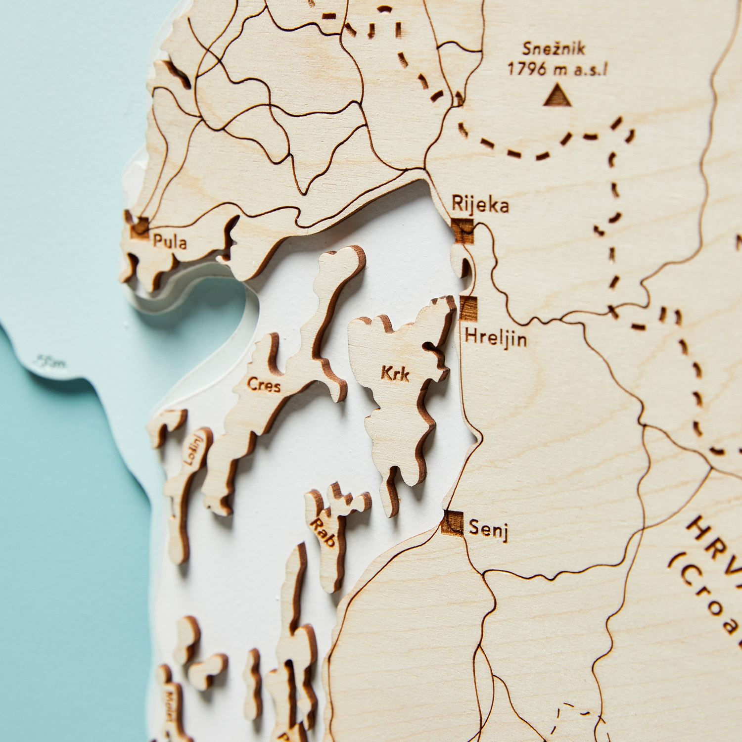
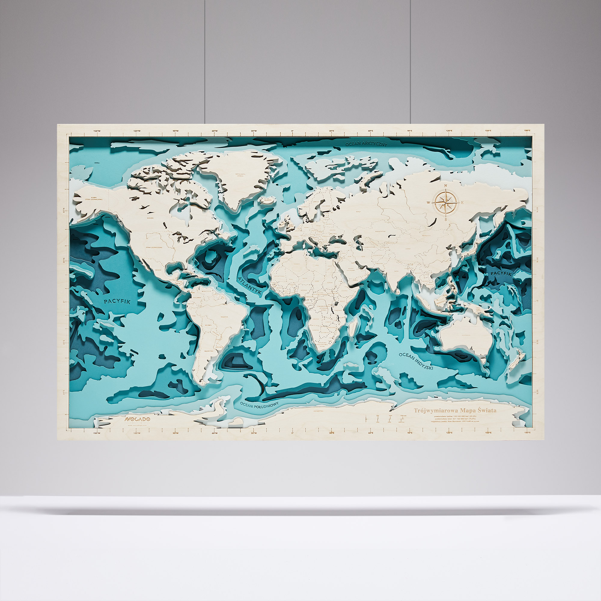
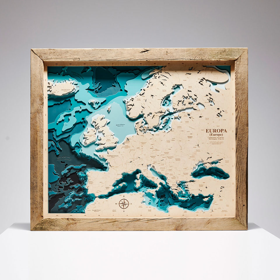
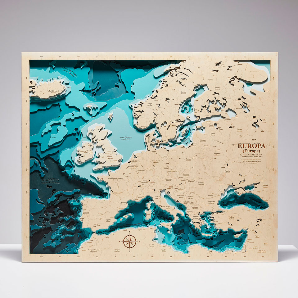
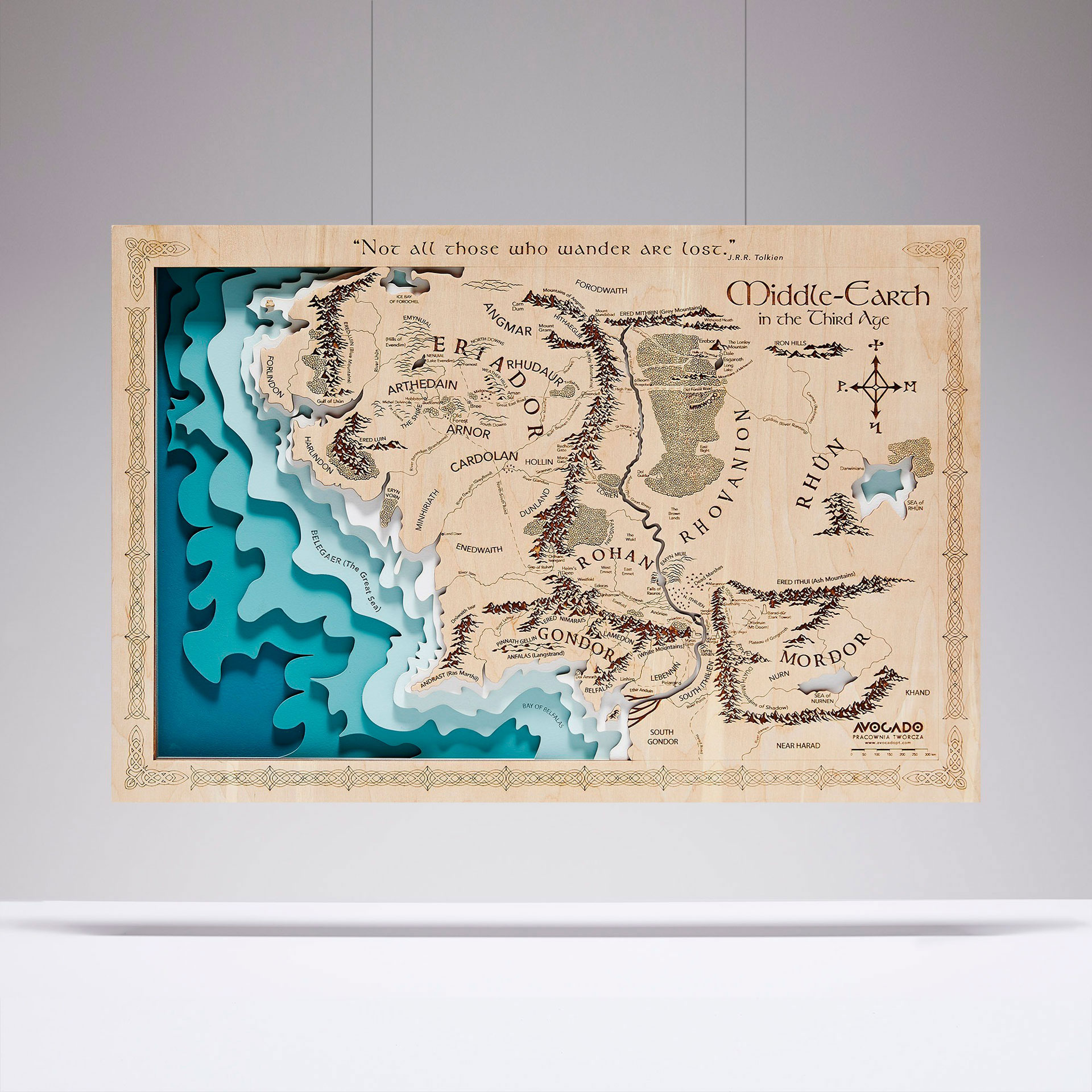
The turquoise contrasting with the delicate beige of the plywood enhances its clarity and the impression of true depth.
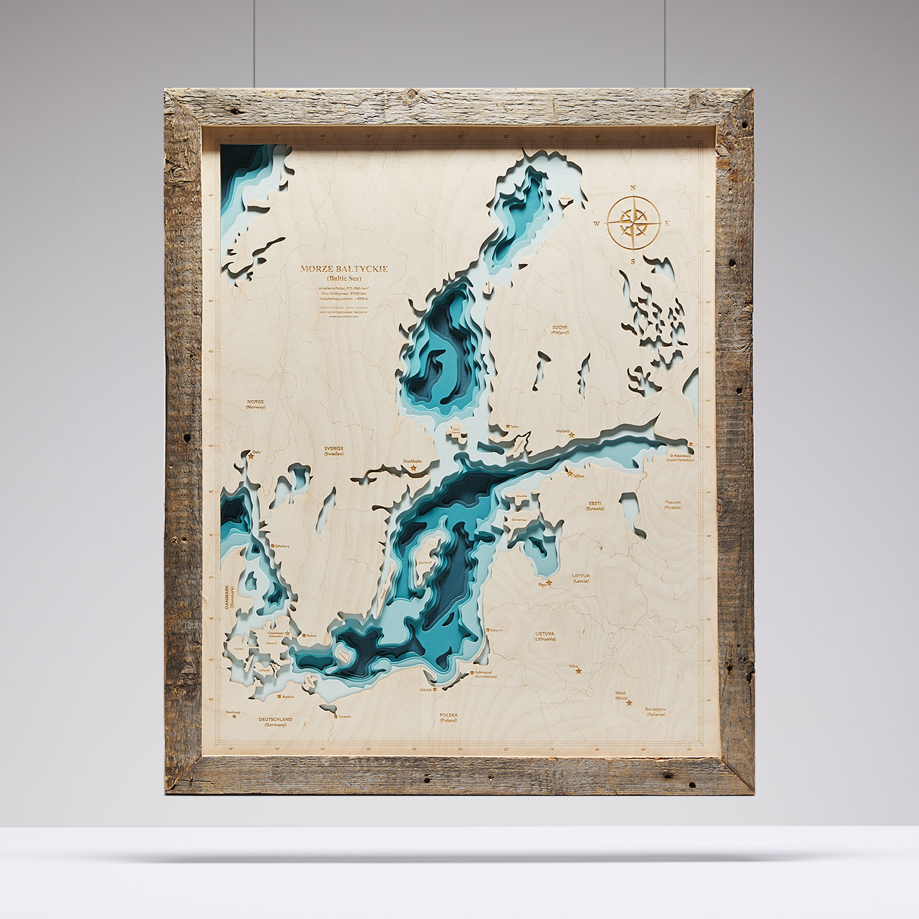
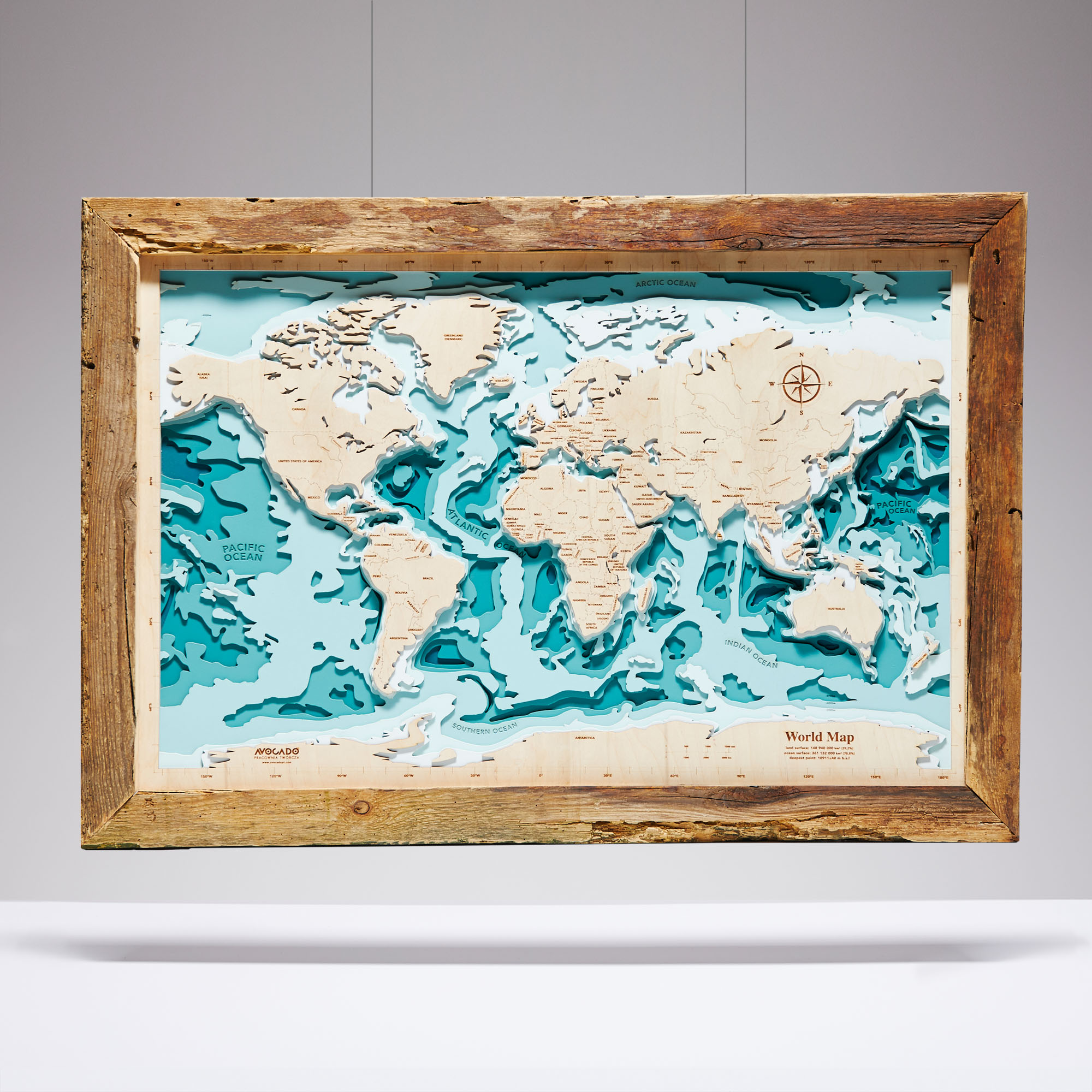
An additional advantage is the unique frame made of reclaimed wood, which we upcycle – reuse.
The frame adds character to this beautiful map.
A dream gift! 😉
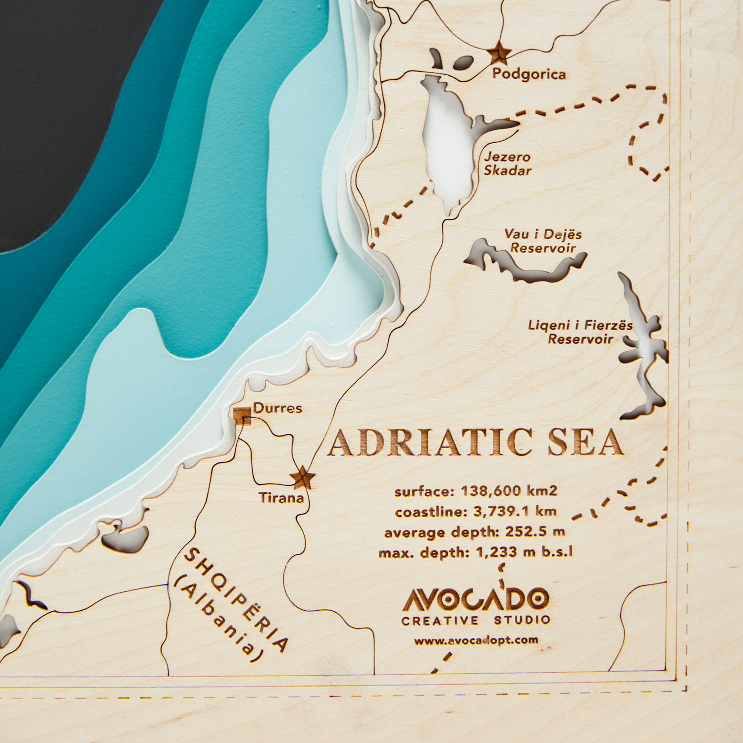
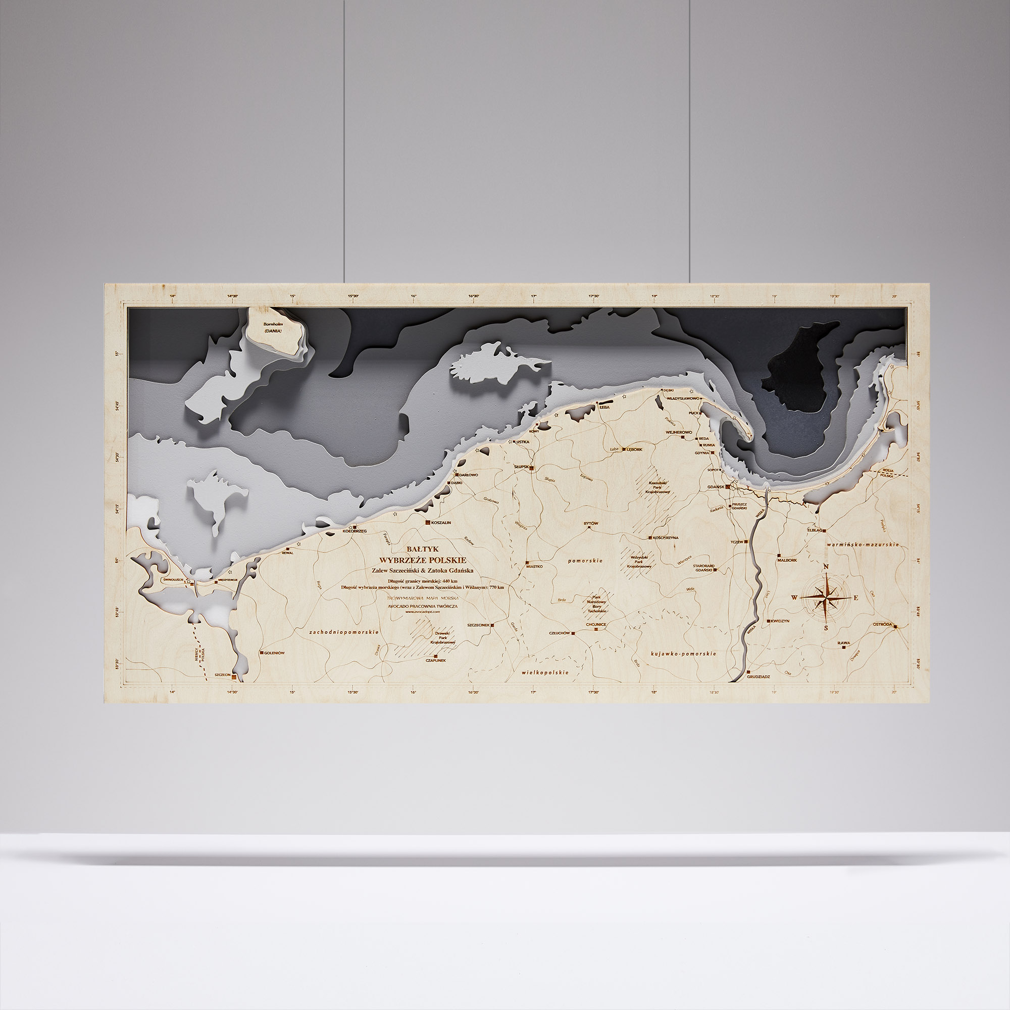
It's history and modern technology in one. The map is hand-polished, painted, and glued together from seven layers of water and land. It has a hanging hole in the back of the image board.
Dimensions: 91 cm x 49.5 cm x 2.1 cm.
Color: turquoise.