Did you know that... the Masurian Lake District owes its current shape to the last Baltic glaciation, which ended approximately 10,000 years ago!
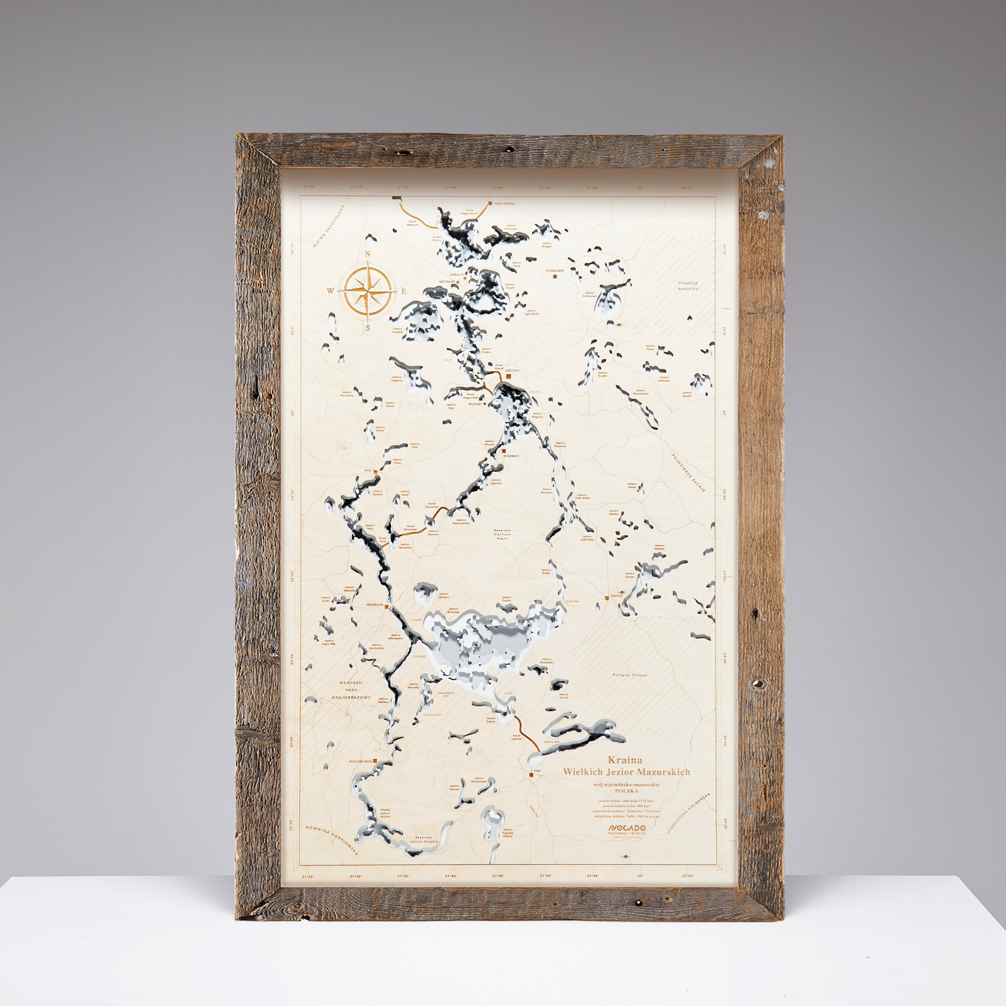
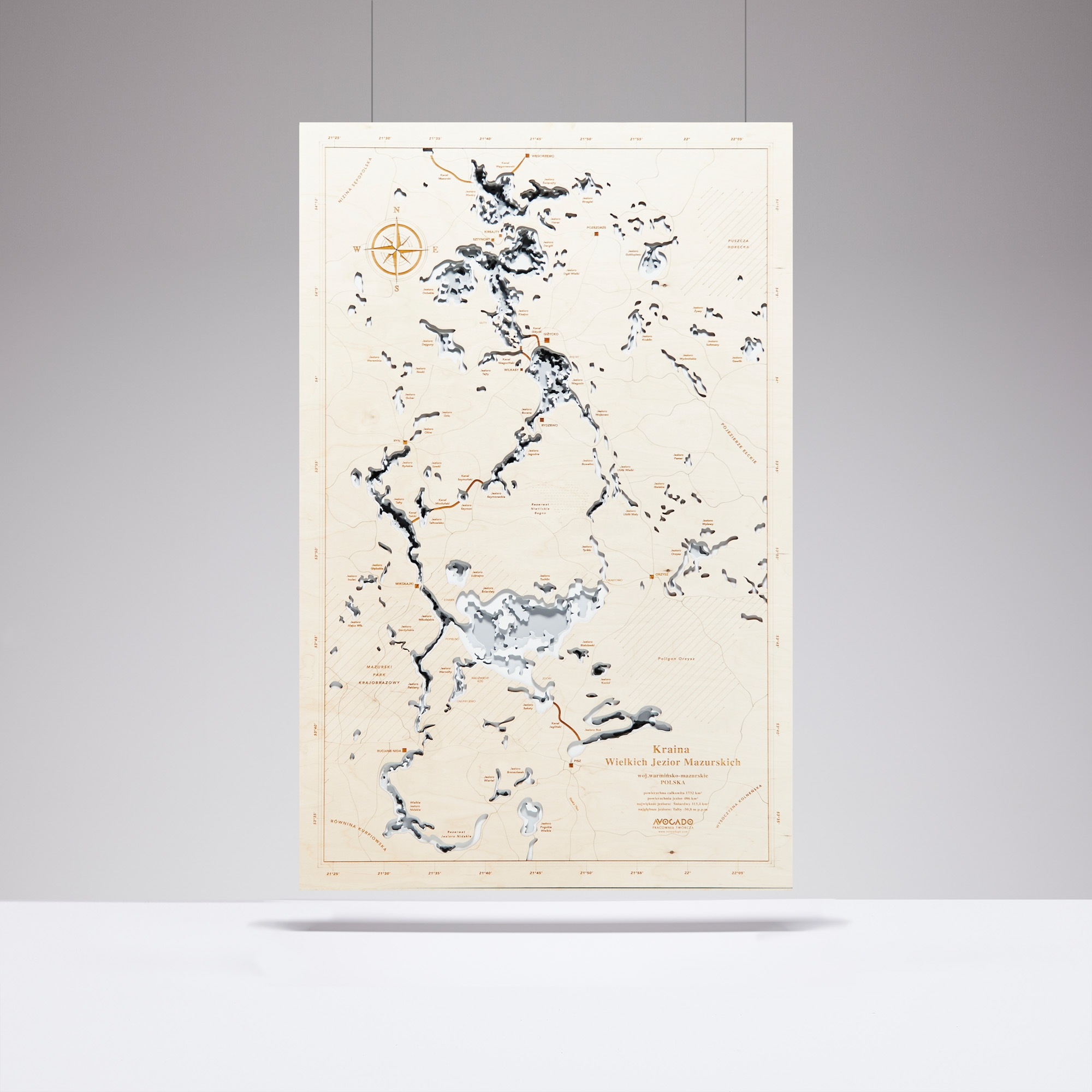
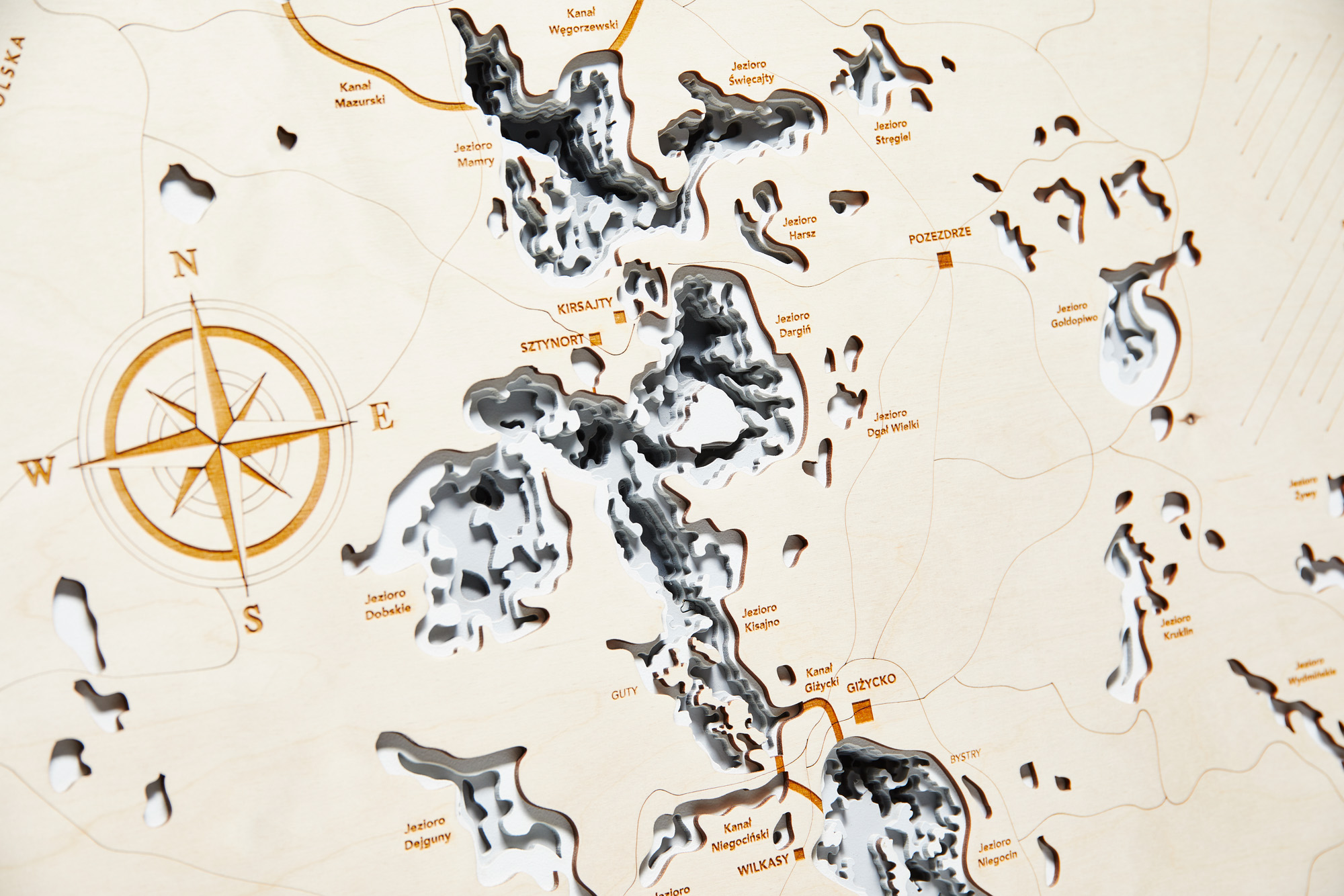
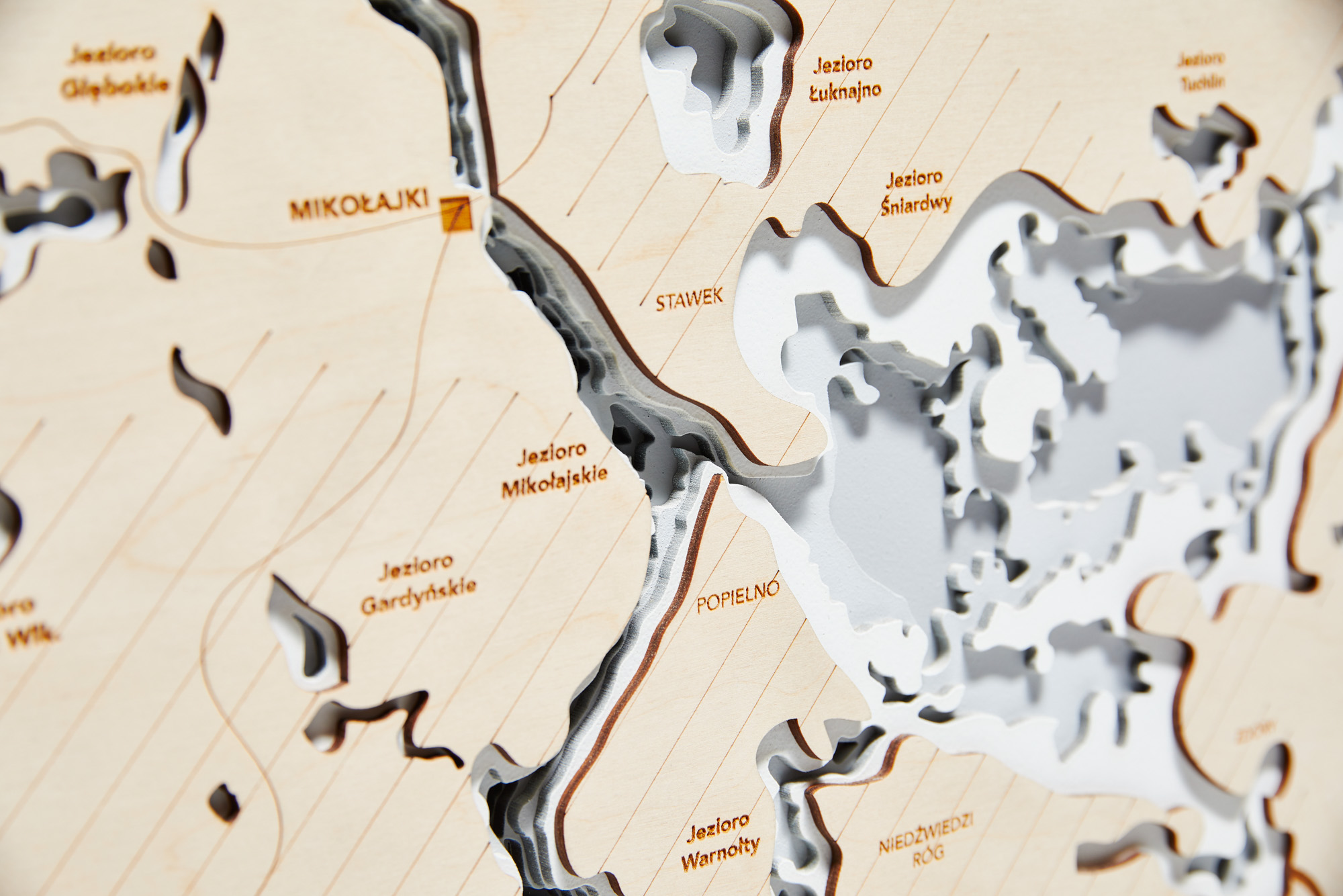
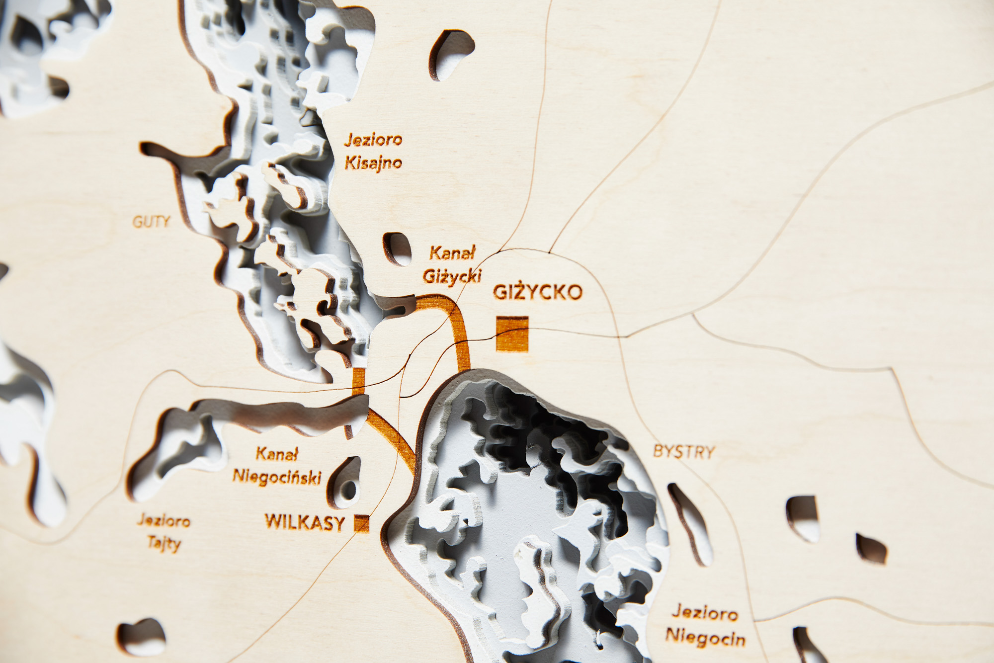
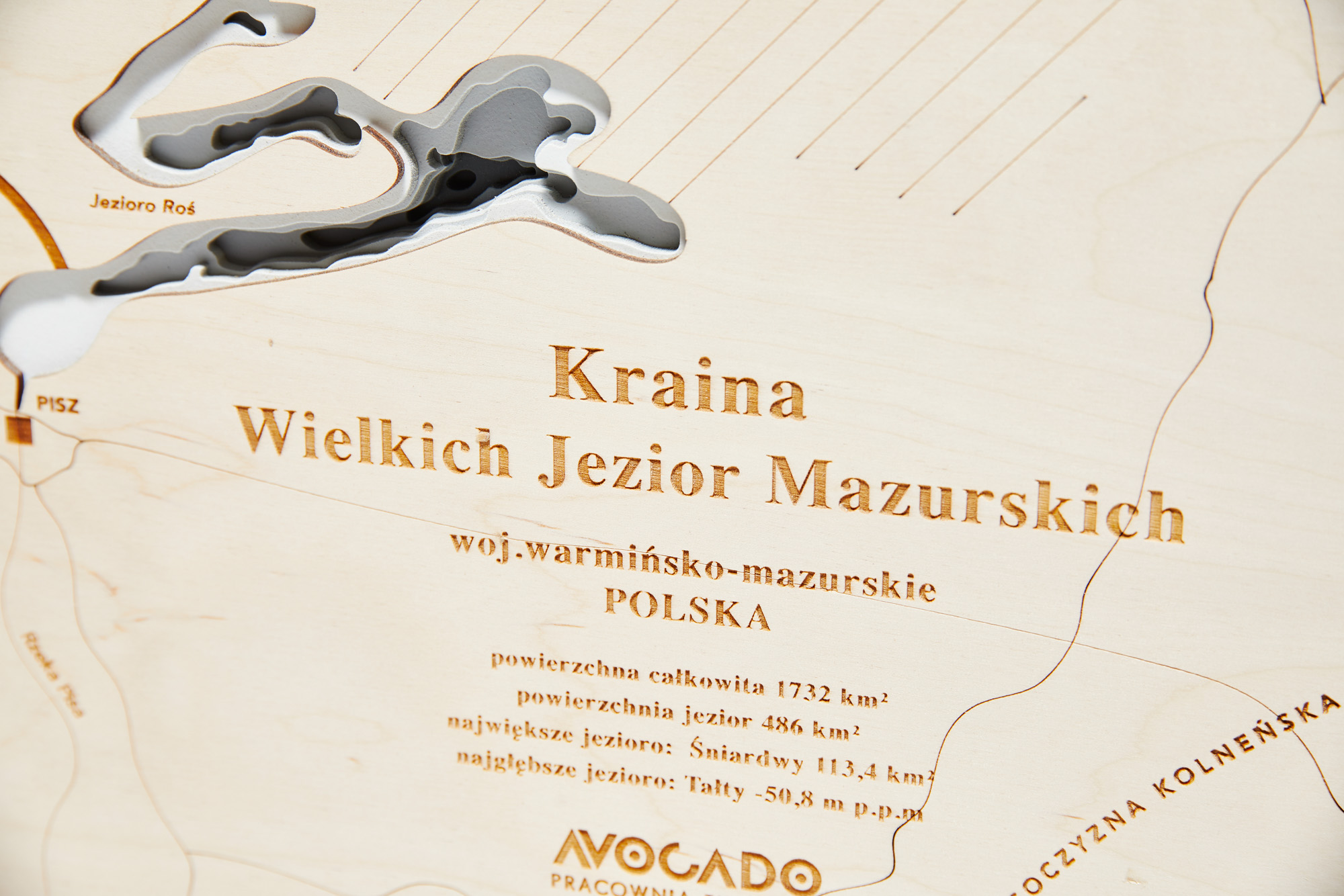
The Gray 3D Map of the Great Masurian Lakes is a detailed image that will enhance the look of any interior and add character. The popular "Masuria" map is available in one large size, allowing for a significant representation of the depth differences in even the smallest bodies of water.
Color: Gray
Dimensions without frame: width: 100 cm / height: 65 cm / thickness: 2.1 cm
Frame: width: 6-10 cm
A dedication or other message can be engraved on the map for an additional fee. Personalization time: 2 weeks.